
Animations and Images
The mapping interface is available for displaying sample locations on aerial and satellite images. The visualizations below were produced from the datasets available at the time and do not include all the data later added to NAVDAT. They are presented to show some of the possibilities that the dataset offers.
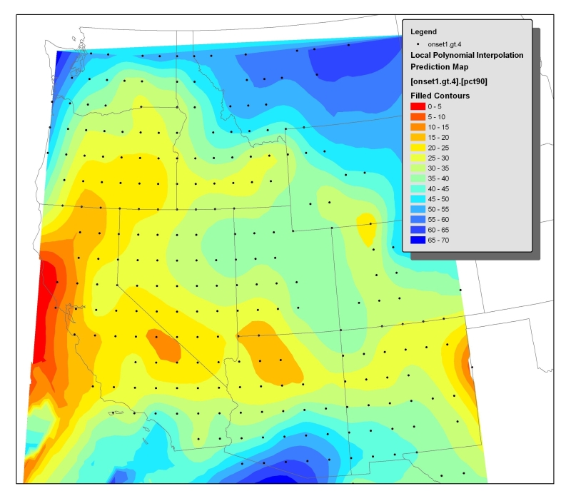 |
Plot of onset of magmatism in the western United States, defined by 90th percentile of ages within 1x1 degree blocks. Note the southwestward sweep out of Montana toward California, and the northward sweep out of Mexico. Evidence for an east-to-west sweep is not clear. |
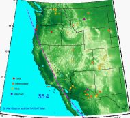 |
Animation of magmatism in the western United States over the past 65 million years. Dots are color-coded by general compositional category. Points start to appear 1 million years before the age listed in the database, grow to maximum size at the listed age, and then shrink to zero radius for the next 2 million years. Plate boundaries are taken from Tanya Atwater's reconstructions; red lines are oceanic plate boundaries, the dashed magenta line is the Pacific-Farallon trench, and the solid magenta line is the developing San Andreas transform. Note that the plate elements are palinspastically restored whereas the North American base map and igneous points are not; the subduction zone and transform swing northwest as the Basin and Range opens. Several magmatic patterns are apparent in this animation, including migration of silicic volcanism from Montana to Nevada, a clockwise sweep of magmatism around the southern edge of the Colorado Plateau, a burst of magmatism in northern Nevada around 17 million years ago (the Yellowstone event), and the general "basaltification" of magmatism throughout the Cenozoic. The movie plays in your browser. Original QuickTime movie: WUS.mov (17.8 MB) |
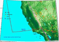 |
Close-up of California and Nevada. The 3.5 million year event in the Sierra Nevada is clearly shown. Several enigmatic migrations (e.g., northward in the San Francisco Bay area, westward into the Cascades, and westward from Nevada into the Sierra Nevada) are apparent. The movie plays in your browser. Original QuickTime movie: CANV.mov (8.3 MB) |
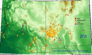 |
Close-up of Arizona and New Mexico. Note migration of basaltic volcanism from central Arizona north to the Grand Canyon, and the complexity of magmatism in New Mexico. The movie plays in your browser. Original QuickTime movie: AZNM.mov (22.4 MB) |
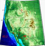 |
Animation including DDS-14, AZ, NM, and new NAVDAT data. The movie plays in your browser. Original QuickTime movie: MOVIE4.MOV (11.7 MB) |
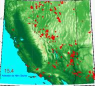 |
Closeup of CA and NV from 40-present including NAVDAT data, DDS-14, and Nevada data. The movie plays in your browser. Original QuickTime movie: MOVIE10.MOV (4.2 MB) |
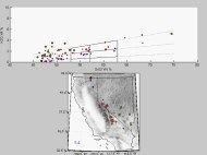 |
K2O vs. SiO2 animated by time for California and Nevada. The color of the plotted point corresponds to geographic position, allowing comparison of the map to the variation diagram. Note the extremely potassic nature of the 3.5 Ma event in the central Sierra Nevada. Animation by Austin Roelofs and Russell Mapes. The movie plays in your browser. Original QuickTime movie: CANV_K2O_DEM.mov (5.5 MB) |
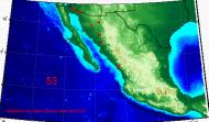 |
Animation of existing data from Mexico as of Feb 04. The southward sweep of magmatism into the active Trans-Mexican Volcanic Belt is well displayed. The movie plays in your browser. Original QuickTime movie: Mex.mov (5.9 MB) |
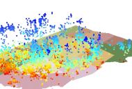 |
Hypersonic flight through the age field. Ages are coded by color and height, ranging from dark blue (early Tertiary) to red (Quaternary). Same data as above. The movie plays in your browser. Original QuickTime movie: FLY2.MOV (6.6 MB) |
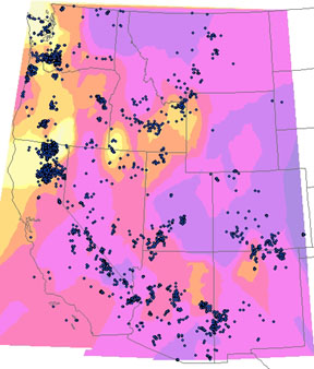 |
This image shows the distribution of K2O in mafic rocks (SiO2 < 55 wt%). Yellow is low, blue is high. Several trends are apparent: K2O generally increases inland. K2O is lowest in the Pacific Northwest. A band of low K2O follows the Snake River Plain track (tholeiites). High K2O samples occur anomalously far westward in southern Nevada and the Death Valley region. |